
Remember when it was is in the 70s (even 80s in some places) yesterday afternoon?
That was nice while it lasted!
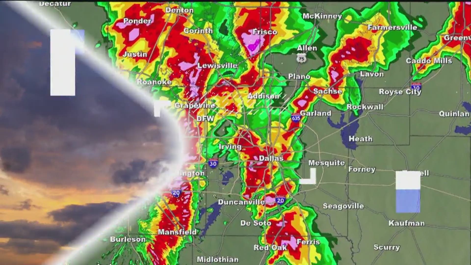
A strong cold front moved through North Texas yesterday afternoon and evening, which caused temps to fall to around or below freezing this morning.
Winter has returned!
High temps today will definitely be colder than the last several days, but how cold will depend on if you see any afternoon sunshine.
Clouds will hold thick in most places, which will keep afternoon temps in the 40s for most places. Some peeks of afternoon/evening sunshine are possible, but don't count on abundant sunshine.

The exception is across western North Texas where a better chance for afternoon/evening sunshine exists. These places could warm into the 50s before the day is done. On the other hand, if you don't see any peeks of sun today, mid to upper 40s could be too "warm".
Here's some good news...
The entire weekend doesn't look terrible!
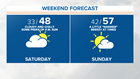

A better chance for sunshine exists tomorrow, which will help temps warm into the upper 50s and low 60s across North Texas. While these temps are a little below normal, it looks warmer than today. If you have stuff you need to get done outside, tomorrow will be the better day to get things done.
Colder temps return Monday and Tuesday along with more clouds. Highs both days will be in the 40s. Monday will be dry, but showers make a return on Tuesday. A round of widespread showers is likely during the day Tuesday. A wet and cold day for sure. While it will be cold, it doesn't look cold enough for wintry weather in most of North Texas. The exception is far western parts of North Texas where a light wintry mix is possible Monday night and Tuesday night. Even if this does occur, it does not look to cause any problems.