
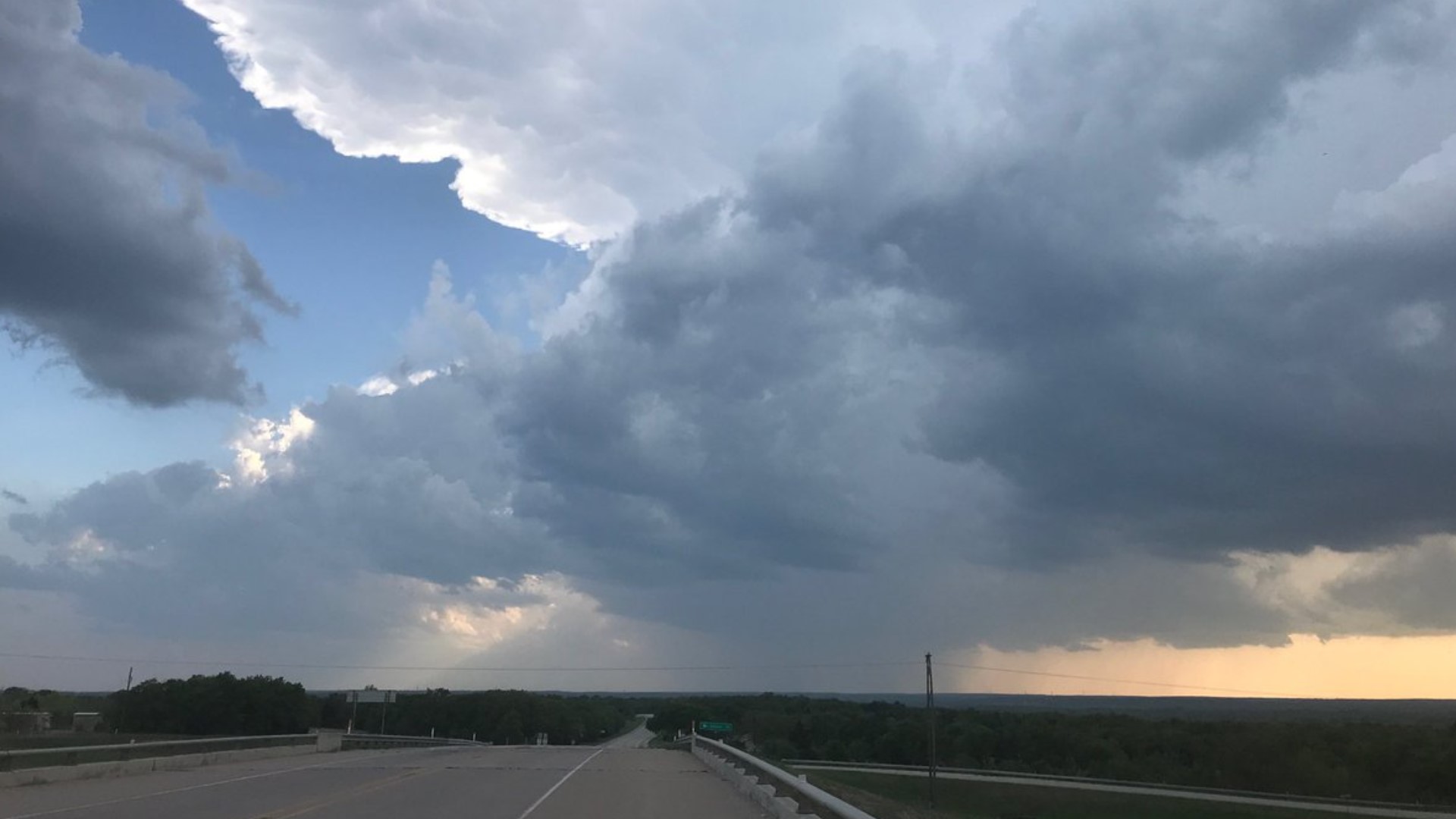
DALLAS — A Severe Thunderstorm Watch is still in place for much of North Texas including the entire DFW area through 2 a.m. Below is the timeline of when and where to expect storms overnight.
Be sure to download the WFAA app to check radars for where you live
RELATED: Southwest Airlines to suspend Dallas Love Field operations tonight due to forecasted storms
TONIGHT
After midnight: A line of showers and storms will be tracking east toward the DFW area. So far, these storms have produced heavy rain, up to quarter size hail and 40-50mph wind gusts.We do not anticipate these storms to intensify beyond that.
This line should clear Dallas and Collin counties by 1 a.m. to 2 a.m., moving into Rockwall and Kaufman counties and then into East Texas overnight into the early morning hours of Thursday.
Storms should end early on Thursday with partly sunny skies by the afternoon. Highs on Thursday will only be near 70 degrees with brisk NW winds of 15 to 30 mph. More sunshine and warmer weather heading into Easter Weekend.