
DALLAS — So, what happened to baseball size hail or larger? And the threat of damaging winds and even an isolated tornado?
Here are the details.
We initially expected three rounds of storms to be possible. Let’s talk about what happened to ROUND 1:
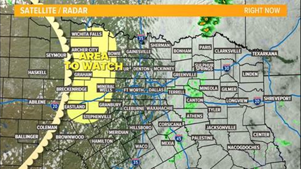
We were monitoring areas east of Dallas for the potential of a few severe storms late in the afternoon. That never materialized. Below is a snapshot of satellite and radar at 5 p.m. Wednesday. Notice the widespread cloud cover east of the metroplex. This assisted in a very strong cap to remain in place and killed any risk of severe weather in that area. The cap is a layer of warm air aloft that prevents robust updrafts from forming.
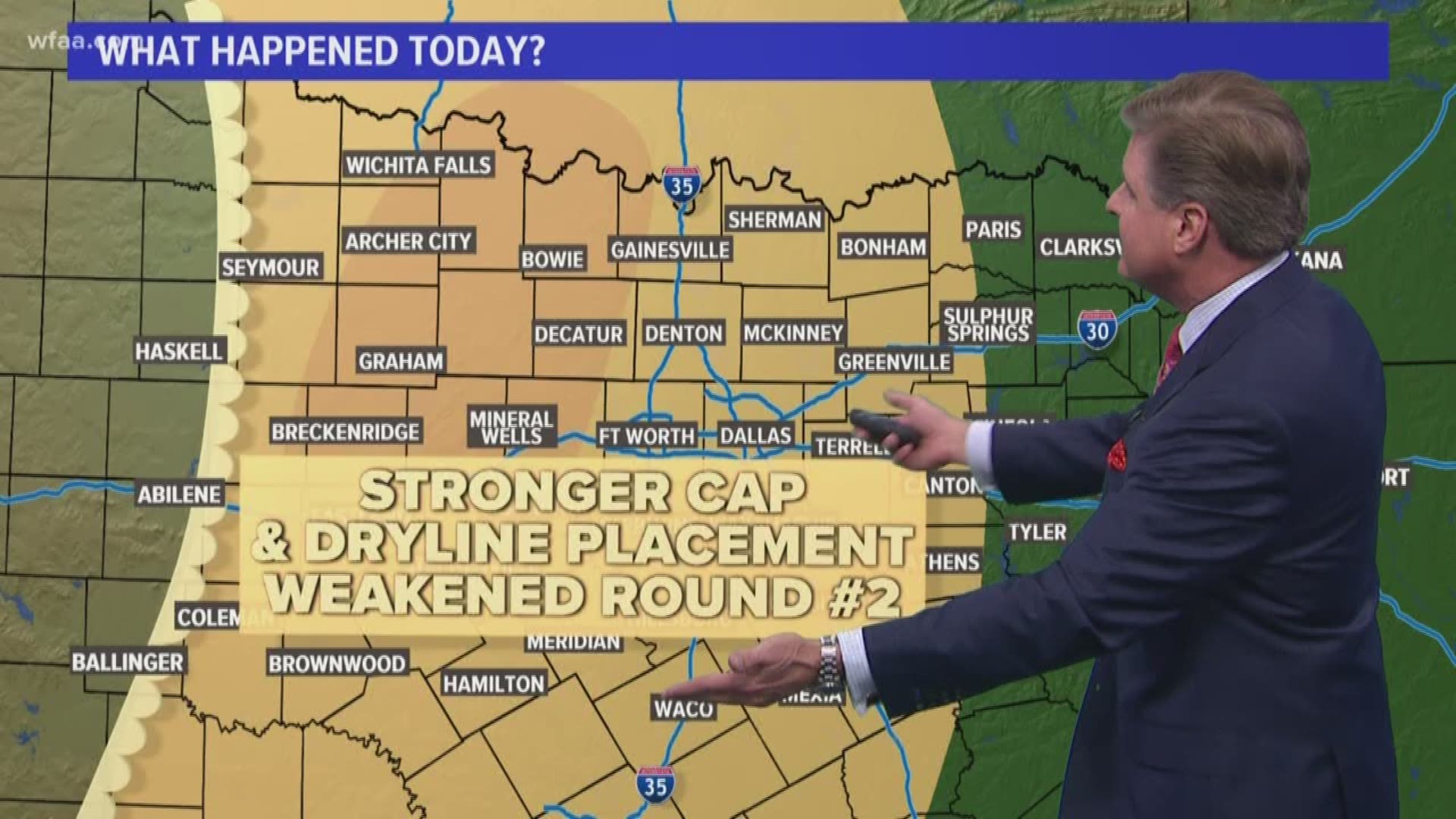
With ample instability, clearing skies and an approaching dryline to the west of the metroplex, that became our next focus for ROUND 2:
This was our real area of concern for the potential of baseball or larger size hail. We anticipated a supercell or two to fire along and ahead of this dryline. We did see some supercell structures fire up, but they never did mature and never did produce extremely large hail. What happened here? The cap once again! The cap erosion wasn’t fast or strong enough to support the hail we expected.
ROUND 3:
This is the round of showers and storms moving into more of North Texas overnight. Once the storms finally got going (not as intense as expected) the storms became more widespread and will bring a low-end risk of strong storms to the metroplex and areas to the east. This will all end by daybreak.
More weather news: